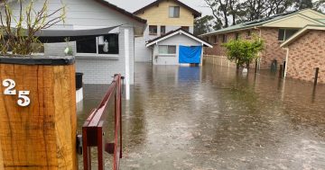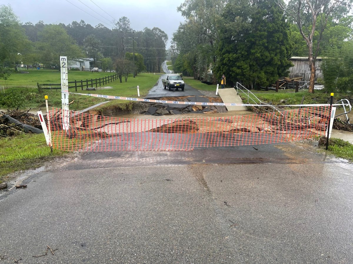
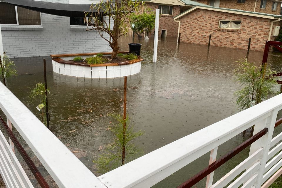
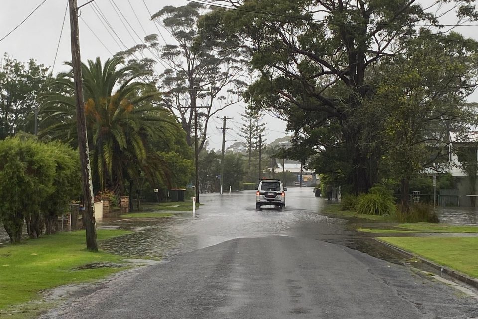
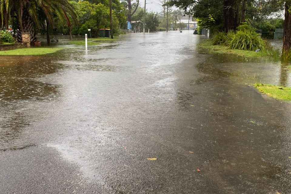
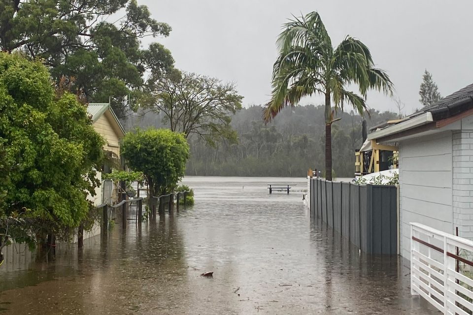
Heavy rainfall has resulted in flooded homes, closed roads and bridges, blackouts and rescues. Photo: Eurobodalla Shire Council/Facebook.
Already dealing with flash flooding, communities in southeast NSW are being told to prepare for further rainfall.
A spokesperson for the NSW State Emergency Service (SES) said communities would face another day of harsh conditions.
“A low-pressure system sitting off the southern NSW coast [is] being supported by a second low further west and is expected to bring further heavy rainfall and strong winds along the south coast this morning,” they said.
The Bega River peaked at 6.35 metres at 8:30 pm on Wednesday, the spokesperson said.
“A ‘Watch and Act, do not enter floodwaters’ remains in place for Lake Conjola and the Bega River,” they said.
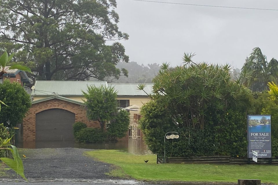
Rapid impact assessment teams will head to Lake Conjola today (30 November) to assess roughly 40 properties affected by floodwater and the NSW SES will also assess properties at Deniliquin, in the Riverina, that have been affected.
In the 24 hours to 5 am on Thursday (30 November), there were 505 incidents across the South Eastern Zone, and 94 incidents in the Southern Zone.
“The low sitting off the Far South Coast is expected to hit land mid-morning, bringing with it a renewed risk of moderate flooding in the Bega region,” the spokesperson said.
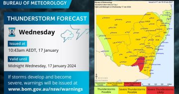
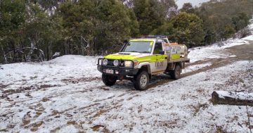
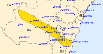
A severe weather warning issued Thursday morning (30 November) warns the South Coast and south-east Snowy Mountains regions are set to face further rainfall.
Six-hourly rainfall totals of 60 to 100 mm are likely, with some areas predicted to see up to 150 mm.
“The far south of the South Coast may see continued heavy rain well into Thursday, though there is uncertainty on this due to the movement and positioning of the low and trough,” according to the warning.
Winds averaging 60 to 70 km/h and peak gusts of around 90 km/h are possible along the coast.

Speaking on Wednesday afternoon (29 November), NSW SES Chief Superintendent Dallas Burnes said the wet conditions were set to continue into today (30 November).
“We have forecasted falls of over 200 mm at various locations along the South Coast, and the potential for falls up to 300 mm.
“Of course, this will result in further flash flooding.”
In the Riverina, Chief Superintendent Burnes said Deniliquin had received a substantial downpour.
“Overnight and early this morning, we had significant rainfall in the Deniliquin area of 135 millimetres,” he said.
“These falls are still to be confirmed, in terms of size – [but] if it is that large, it would be near record rainfall for that town.
“We’ve got some 40 jobs still outstanding there.”
SES crews had been at Deniliquin since 8 am on Wednesday, and members of Fire and Rescue NSW, NSW Rural Fire Service and Victorian SES were assisting, he said.
“There are issues getting into Deniliquin, because the way the rain’s fallen [has] effectively cut it off, with it falling inside the lagoon levy systems around the town,” he said.
The SES advises that people should:
- Move vehicles under cover or away from trees
- Secure or put away loose items around your house, yard and balcony
- Keep at least eight metres away from fallen power lines or objects that may be energised, such as fences
- Trees that have been damaged by fire are likely to be more unstable and more likely to fall
- Report fallen power lines to either Ausgrid (131 388), Endeavour Energy (131 003), Essential Energy (132 080) or Evoenergy (131 093) as shown on your power bill
- Don’t drive, ride or walk through floodwater
- Keep clear of creeks and storm drains
- If you are trapped by flash flooding, seek refuge in the highest available place and ring triple zero if you need rescue
- Be aware that runoff from rainfall in fire affected areas may behave differently and be more rapid. It may also contain debris such as ash, soil, trees and rocks
- After bushfires, heavy rain and the loss of foliage can make the ground soft and heavy, leading to a greater chance of landslides
- Stay vigilant and monitor conditions. Note that the landscape may have changed following bushfires.
For help in floods and storms, ring your local SES unit on 132 500, or call triple zero in an emergency.
The next severe weather warning will be issued by the BoM by 11 am today (30 November).
Original Article published by Claire Sams on About Regional.