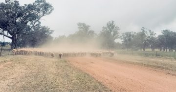
With summer coming to an end, the Bureau of Meteorology says autumn in the Riverina is expected to be warmer and drier than average. Photo: File.
The Riverina can expect a relatively dry month ahead for the rest of summer.
The Bureau of Meteorology said in a statement the chance of exceeding average rainfall in the Riverina for the remainder of summer was average to low.
“February is also very likely to be cooler than average for the Riverina. One of the climate drivers that influence rainfall and temperature in the Riverina is the El Nino Southern Oscillation (ENSO),” the bureau said.
“La Nina continues in the tropical Pacific atmosphere, but ocean indicators have weakened towards neutral values.
“While La Nina typically increases the chance of above-average rainfall for northern and eastern Australia during summer, all models anticipate La Nina conditions ending during February.”
The bureau said the 2022-23 summer in the Riverina had been cooler and wetter than average.
It said rainfall for the region was close to average in December and above average in January, while the maximum temperatures were average to below average across those months.
Minimum temperatures were below average in December and close to average in January.
The first week of February saw low maximum and minimum temperatures in the Riverina.
Maximum temperatures were up to 5 degrees Celsius below average and minimum temperatures up to 6C below average.
Average summer rainfall for the Riverina ranges from 50-100mm in the west to 100-200mm in the east.
The average summer maximum temperature for the Riverina is 30-33C, while the minimum is 15-18C.
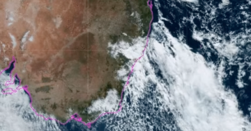
As for the forecast for the weekend and the week ahead, the bureau said an inland trough was bringing humidity and unsettled weather.
For the weekend, maximum temperatures in the mid-to-high 30s are expected, falling overnight to between 17C and 20C.
So, what can we expect going into autumn?
The bureau said the long-range forecast for autumn showed the Riverina was likely (60 per cent chance or greater) to be drier than average.
And both maximum and minimum temperatures were likely (60 per cent chance or greater) to be higher than average.


