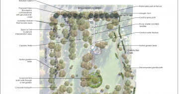
The Gundagai flood study aims to understand and determine the nature and extent of potential flooding in the villages around Gundagai and the Murrumbidgee River floodplain within the Cootamundra-Gundagai Regional Council Local Government Area. Photo: Cootamundra Gundagai Regional Council.
Cootamundra-Gundagai Regional Council (CGRC) residents are urged to provide input to a flood study aimed at comprehensively assessing risks in several local areas.
CGRC said in a statement it was seeking input from residents for the Gundagai Villages Flood Study to enhance flood resilience and safety within the region.
“Council has recently engaged flooding consultants HydroStorm Consulting to undertake a flood study for the villages of Coolac, Nangus, Tumblong, Darbalara and those residing in the Murrumbidgee River floodplain outside Gundagai,” CGRC said.
“The flood study aims to explore and assess flooding in these areas and as such local community input is crucial for better understanding and addressing potential flood risks in these communities.
“Engaging with the community serves the dual purpose of keeping the community informed about the project’s progress and providing an avenue for residents to share information about their experience with flood.”
Residents living close to the waterways in the villages can expect to receive a newsletter and a questionnaire. The newsletter will provide details of the ongoing study and the questionnaire will seek to gather information on flooding experienced by the residents.
CGRC said the community would have additional opportunities to provide feedback at later stages of the project. Towards the end of the study, the residents will be offered the opportunity to share their insights and comments on the study at a community workshop.
The Gundagai Floodplain Management Committee will oversee the flood study. The committee includes members from the council, Department of Climate Change Energy and Environment, the State Emergency Service and residents. The committee will hold meetings at regular intervals to monitor the progress of the study.
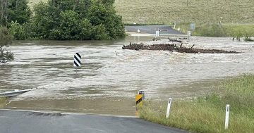
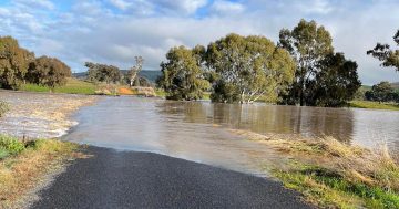
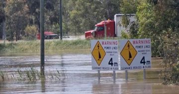
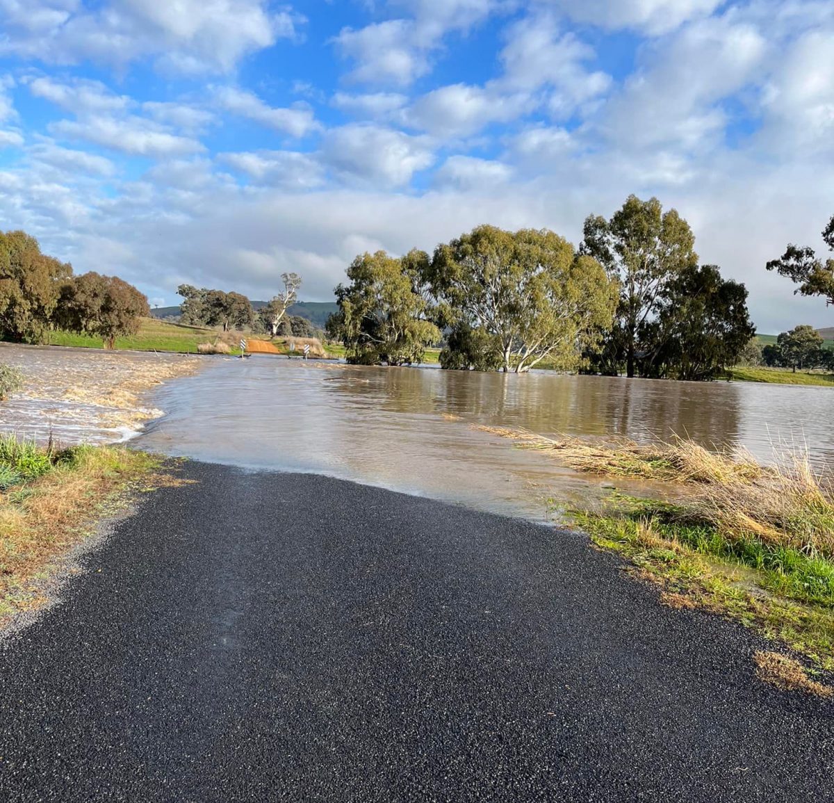
Flooding at the villages of Coolac, Nangus, Tumblong and Darbalara is due to flooding from the Muttama Creek, Nangus Creek, Tumut River and Adelong Creek respectively. Flooding along the Murrumbidgee River is from high flows from the Murrumbidgee River catchment which has a catchment area of 21,000 km² upstream of Gundagai. Significant flooding occurred in December 2010, March 2012 and more recently during three events in late 2022.
For further details regarding the proposed work or to share any concerns related to the Gundagai Villages Flood Study, residents are encouraged to contact Habib Rehman, Senior Consultant, HydroStorm Consulting on 02 7232 0400 or at [email protected], or CGRC’s Craig Perrin on 1300 459 689 or at [email protected].
Follow the link to complete the questionnaire online. Responses are to be completed before Monday 31 April.