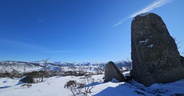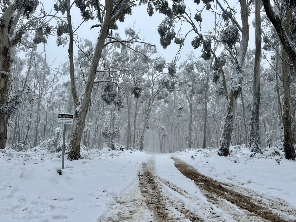
Snow along Waterfall Trail in the Brindabella Ranges on Monday (9 June). Photo: James Coleman.
A cold front over the weekend has given the region’s snow resorts their best start to the season in at least three years.
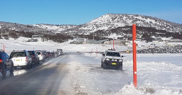
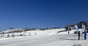
The Snowy Mountains were blanketed with between 30 and 70 cm of snow over the King’s Birthday long weekend.
Thredbo is currently under 53 centimetres of snow, with 10 cm falling in the past 24 hours, while Perisher is recording a depth of 63 cm, 3 cm over the past day, and Charlotte Pass a depth of 58 cm, according to forecast website SnowWatch.
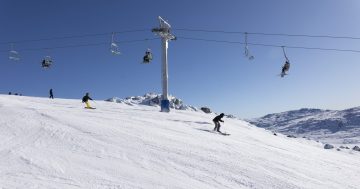
“Yesterday was unreal – and the magic’s not over yet,” Thredbo Resort wrote in a Facebook post on 8 June.
“Opening Weekend is still going strong with 26 cm of fresh snow on the ground and more falling fast.”
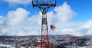
The situation was similarly upbeat at Perisher.
“Holy moly … we’ve had such a blast today celebrating not only the start of a new season, but the snow that just keeps on coming,” the resort posted to social media.
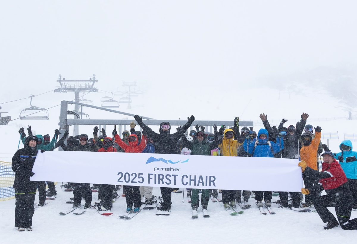
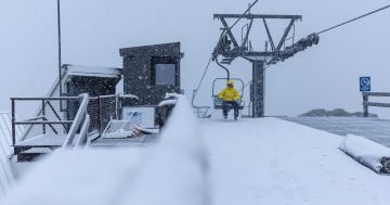
First chair lift of the 2025 season at Perisher. Photo: Perisher, Facebook.
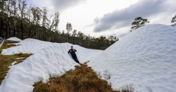
Snowball fights and snowmen were also cropping up along tracks in the Brindabella mountains as families got out to enjoy several centimetres of snow nearly in their backyard.
The Bureau of Meteorology (BOM) doesn’t record snowfall amounts, preferring to use data collected by the snow resorts. However, senior meteorologist Jonathan How told Region that what we’ve seen so far is the best start to a snow season in recent years.
“It’s certainly in line with what we expect for this time of year, but we’ve had some pretty poor seasons – 2024 and 2023 were very slow starts. We’ve got to go back to 2022 for a good start.
“So certainly … we’ve had really good news over the last three days.”
The driving force was a cold front, propelled across southeastern Australia by a low-pressure system.
“This meant three to four days of very cold air coming up from the south of the country, and bringing a good level of snowfall across the region.”
The snow level started high but gradually fell to as low as 800 to 900 metres above sea level in the Brindabellas and the mountains of southern NSW.
Mr How said a lot could change over the next three months, but for at least the next two weeks, things are looking good.
“Having that snow cover will really help to set the scene going forward, so although we will see temperatures get a little bit higher this week … not too much will melt.”
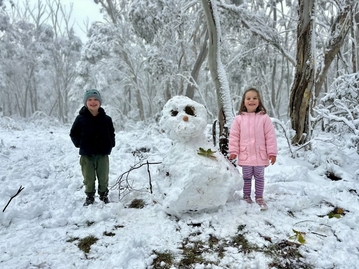
More than enough to make a snowman in the Brindabella Ranges. Photo: James Coleman.
More flurries of snow are forecast over the coming weekend which, while less than what we have seen, will “be a nice top up”.
“The main thing we want to avoid is a rain event, because rain just causes everything to melt, and the good news is that there’s no big warm rain event coming in the next couple of weeks.
“It’s a good start.”
SnowWatch predicts that Perisher and Thredbo will receive up to 8 cm of snow over the next 15 days, and Charlotte Pass will receive up to 3 cm.
Original Article published by James Coleman on Region Canberra.