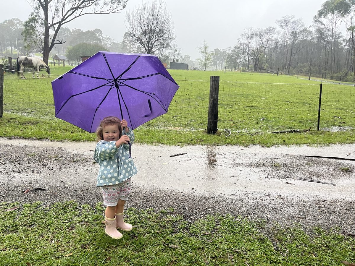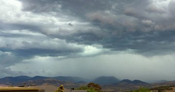
Severe storms are forecast for Friday, 18 October in parts of NSW. Photo: Kim Treasure.
Friday is set to be rainy for much of the country with severe storms possible for parts of NSW.
Bureau of Meteorology senior meteorologist Jake Phillips told Region Friday’s forecast came after several days of “unsettled” weather as systems moved towards the east coast.
“There’s a lot of unsettled weather moving into western NSW today (18 October), and that’s going to continue moving through to the east,” he said.
“What we’re anticipating around the Canberra and south-east portion of NSW is some patchy rain to develop overnight and continue throughout.
“There should be a break in that, and after that we’re likely to see some thunderstorms develop on Friday afternoon.”
Mr Phillips said the storms would move eastward towards the coast.
“As far as the storms are concerned, Friday is really the big day,” he said.
“That’s the one we’re watching out for, with the potential for some of them to become severe.
“In this case, we’re primarily talking about damaging wind gusts.
“There will possibly also be local heavy rain – so that could cause a flash flood risk. There is even a slight risk of large hail as well.”
While capital country and the South Coast may cop a drenching, parts of the Riverina and western NSW are expected to be squarely in the system’s path.
“Places like Wagga Wagga, Young and up to Orange and Parkes as well, and possibly as far out as Griffith are where we think we’re more likely to see the severe thunderstorms,” Mr Phillips said.
“But we can’t rule out something coming across to the ACT as well.”
The system is being driven by a combination of warm winds and cold fronts.
“That’s bringing in a fair bit of heat because northerly winds are coming from a warmer part of the world [and] that’s also bringing in a fair bit of moisture as well,” he said.
“It’s increasing the humidity in the air, and that warmth and the humidity are a couple of the key ingredients we look for in storm generation. But then we need something to actually trigger these thunderstorms.
“The triggering device is a cold front that’s moving across from the west.”
Mr Phillips expected the front to have moved into western NSW by Friday morning.
“It’s really that cold front that’s going to trigger a lot of these storms and, in particular, potentially severe ones.”
He said the bureau would release regular updates if the weather turned severe.
“If people are in the storm-affected area, they should follow the advice of the State Emergency Services.
“They’re the experts in helping the community fix things up after storm episodes.”
During severe thunderstorms, the SES asks people to:
- Move your car under cover or away from trees
- Secure or put away loose items around your house, yard and balcony
- Keep at least eight metres away from fallen power lines or objects that may be energised, such as fences
- Report fallen power lines to either Ausgrid (131 388), Endeavour Energy (131 003), Essential Energy (132 080) or Evoenergy (131 093) as shown on your power bill
- Trees damaged by fire are likely to be more unstable and more likely to fall
- Unplug computers and appliances
- Avoid using the phone during the storm
- Stay indoors away from windows and keep children and pets indoors
- Stay vigilant and monitor conditions. Note that the landscape may have changed following bushfires.
For emergency help in floods and storms, call the SES (NSW and ACT) on 132 500. Call 000 in an emergency.
Original Article published by Claire Sams on About Regional.


