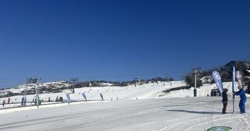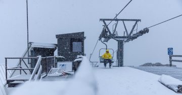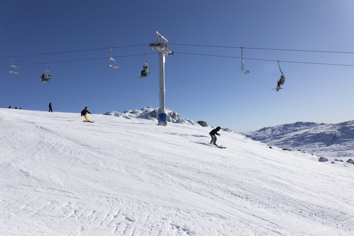
The conditions won’t be as clear as this on the ski fields as flurries of snowfall, but it will result in extra terrain opening. Photo: Alyson Lamb / Perisher Ski Resort.
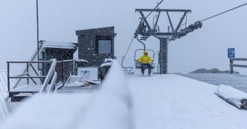
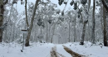
The Snowies’ ski fields are getting some much-needed powder as large parts of southern NSW and the ACT woke up to chilly conditions today (15 July).
A complex low-pressure system wrapped in cold air has been working its way over Tasmania and is now drifting north, bringing the snow level down with it. There’s also a series of associated troughs crossing NSW, which will result in stronger westerly winds.
Bureau of Meteorology community information officer Brooke Pagel said this meant rain showers could fall as snow at 700 metres in the Alps and above about 800 metres in surrounding areas.
“Vigorous Alpine winds with blizzard conditions are likely from this afternoon … above 1900 metres in the Alpine peaks,” she said.
The wind chill factor will compound the below-average temperatures predicted for today.
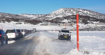
A damaging winds warning is in place for parts of the Snowy Mountains area, including Thredbo Top Station, for 80 to 90 km/h winds and peak gusts of around 115 km/h likely.
“The NSW National Parks and Wildlife Service recommends that backcountry travel be postponed until conditions improve,” the BoM advised.
Conditions are expected to ease tomorrow morning.
Despite the strong winds, the ski resorts are cheering.
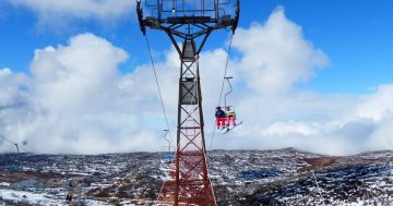
Both Charlotte Pass and Perisher Ski Resort have labelled the predicted snow (which started falling yesterday) as the “news that we’ve all been waiting for”, with the expectation that more terrain will be opened in both locations.
Up to one metre of the white stuff has been predicted for Perisher, while Thredbo’s outlook is still a guessing game.
“Forecasts are updating. Mountain Watch is predicting 60 cm, the Bureau of Meteorology says 70 cm plus, and Snow Watch is calling 80 cm,” the resort’s Facebook page stated.
Selwyn Ski Resort is also celebrating more snow on the ground.
“Snowy and windy … there is a growing cover of snow across the resort. It is cold and additional snowmaking as well is just adding to the cover,” this morning’s update noted.
“Bring your goggles and warm clothes as you will feel the wind chill today, and this snow should continue all day, so conditions will just get better.”
All snow lovers have been advised to keep an eye on conditions and their chosen resort’s channels as the wind could result in lift holds.
Original Article published by Claire Fenwicke on Riotact.