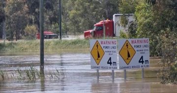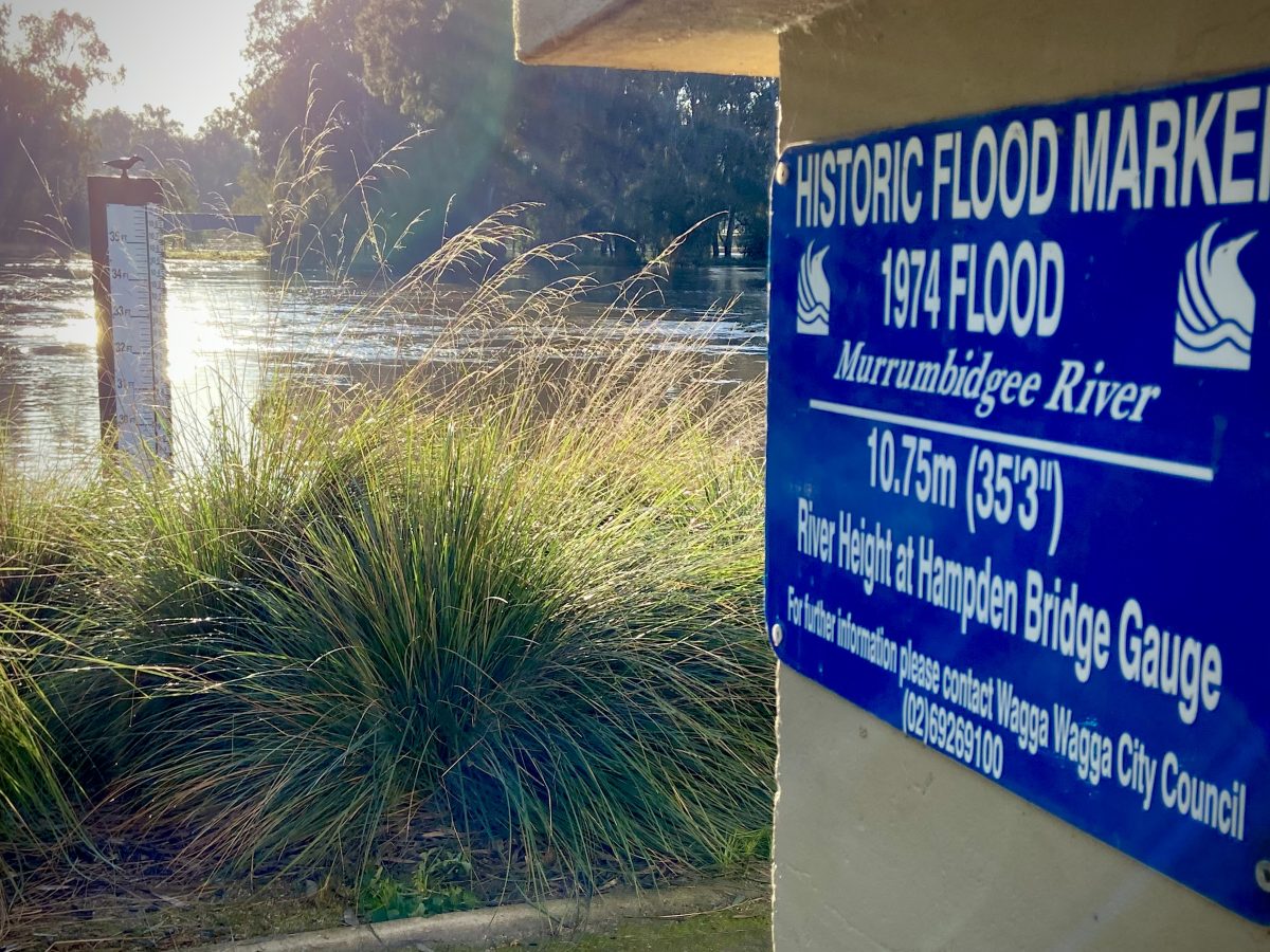
The river at the old Hampton Bridge site on Wednesday morning. Photo: Chis Roe.
Frost replaced the morning fog of the past few days as Wagga awoke to sunshine and a steadily dropping river.
At 8 am the water level remained within the minor flooding range at 8.42 metres following the peak of 8.74 metres on Tuesday morning.
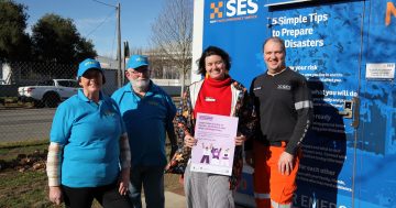
SES Incident Controller Tony McMullen told a community meeting in North Wagga that some streets were reopening with caution but advised residents to remain alert.
“You know this area better than anyone and you know what X amount of rain does up in the catchment area or in between,” he said.
“We always try and get that public information out, so I would advise that being alert is not the worst thing at the moment.
“Keeping an eye on weather systems, internet, the BoM site and things like that.”
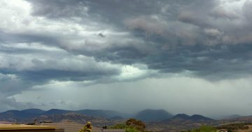
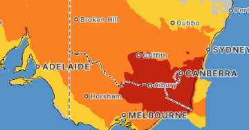
Flood warnings remain current and rain is expected to return late in the week as a cold front and low-pressure system moves through.
The system will hit NSW on Thursday bringing rain, isolated thunderstorms, gusty winds and alpine snow.
Fire and Rescue NSW has been assisting in the response with drone vision from its remotely-piloted aircraft systems (RPAS).
The dramatic images offer a stark reminder of how dependent Wagga is on its levee banks.
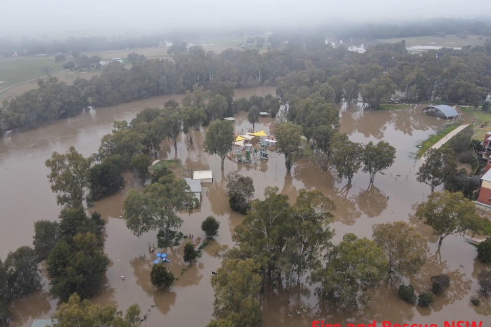
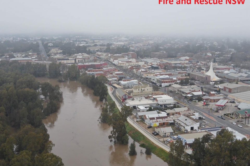
Wagga City Council advised this morning that Eunony Bridge Road would open from 1 pm on Wednesday following a clean-up of flooding debris.
Some road closures remain in place so drivers are urged to drive with caution, avoid driving through flooded roads and obey road closure signs.
With water remaining, Wagga Beach carpark and Riverside precinct will remain closed and residents are urged not to enter any floodwaters.
You can keep up to date with road closures here.
For continued updates from the SES, stay across the Murrumbidgee NSW SES Facebook page.
And for river heights and weather warnings keep an eye on the BoM.


